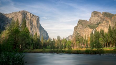
Trails leading from the Yosemite Valley
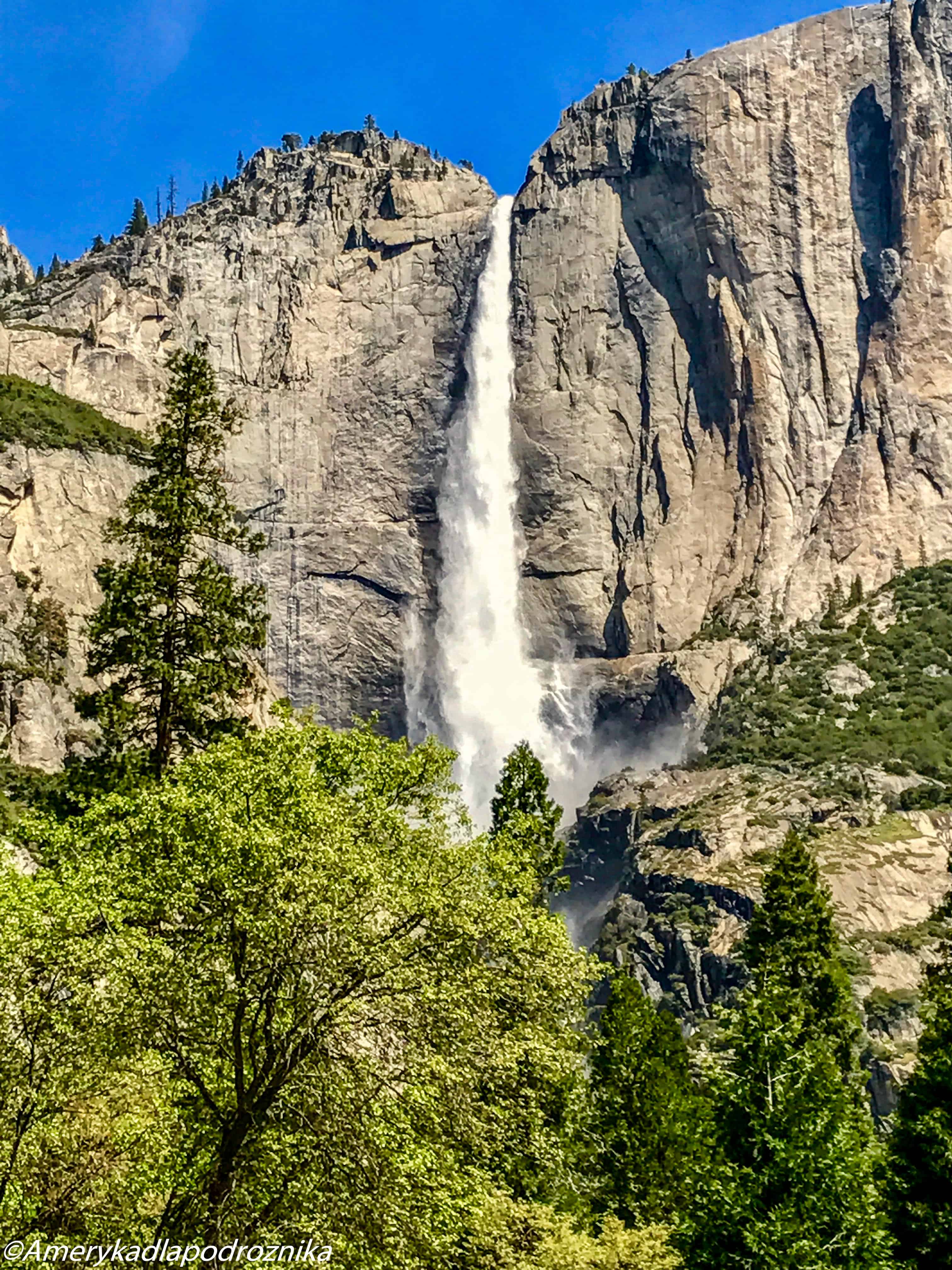
Upper Yosemite Falls
Parking
It is best to park next to the Yosemite Lodge or anywhere in the valley, and take the park shuttle (stop nr. 7), the trail starts next to Camp 4.
Trail’s length
12 kilometers to the top, 825 meters of elevation gain, about 6-8 hours.
Upper Yosemite Falls was already on our bucket list during our first visit. However, the waterfall was already almost dry. We thus decided that it is not worth climbing just to admire the valley. Especially because we had read that the trail is not an easy one and often overrated.
Last May the waterfall was flowing with amazing intensity, so we quickly agreed that we would go! Right from the start the trail leads steeply upwards. It is hard to walk, as big stone steps are even 1.5 feet high. However, every time we stopped to catch a breath we were attacked by squadrons of mosquitos. Nothing surprising, we were walking through a dense forest after all. This also meant that we did not have any nice views. And those mosquitos! There are crowds of people, with some treating the other hikers disrespectfully. We looked at each other. I could see the phrase “do we really wanna continue?” on everyone’s faces. But really? We have already come a long way, we need to continue! Every a couple of minutes we have to cross a small stream, and I am glad that I have waterproof shoes with me. While crossing one of those stream I decided to gracefully jump from one stone to another, which resulted in me falling down spectacularly. I was a bit disheartened that I had wet my clothes, but oh well, we have to go further. But then my husband grabs my arm and tells me: “We are for sure not going further!”. After a while I felt streams of warm fluid flowing from my forehead, and our entire group looked at me with frightened eyes. It turned out that I had cut the skin on my head. Even though we quickly put a professional dressing on the wound, going further would have been risky. No one was really sad about aborting our hike, we all agreed that it was repelling.
Perhaps if we had reached the waterfalls our overall experience would have been better, as the beautiful view at the end would have made it up for the hardships of the trail.
We went to the Yosemite Medical Center straight from the trail, where we learned that I am already the third victim of the Upper Yosemite Falls trail today. A man who came there before me fell from 10 feet, he also slipped while crossing a stream. I have to admit that he looked far worse than me. There was also a man who fell from 30 feet, however, he had just been transported to a hospital by a helicopter.
As for me, I had several bruises and a cut on my forehead. Stitches and an anti-tetanus vaccine cost us 600 dollars. Remember to have a good insurance and do not jump on wet rocks!
Mist Trail
Parking
There is no parking next to the trailhead. It is best to park somewhere in the Yosemite Village or Curry Village and walk here or take a bus to Happy Isles (stop nr. 16). The trail begins next to the Happy Isles.
Trail’s length
To the top of Vernal Falls: 2.5 miles round trip, 900 feet elevation gain, 3 hours
To the top of Nevada Falls: 5.5 miles round trip, 2000 feet elevation gain, 5-6 hours
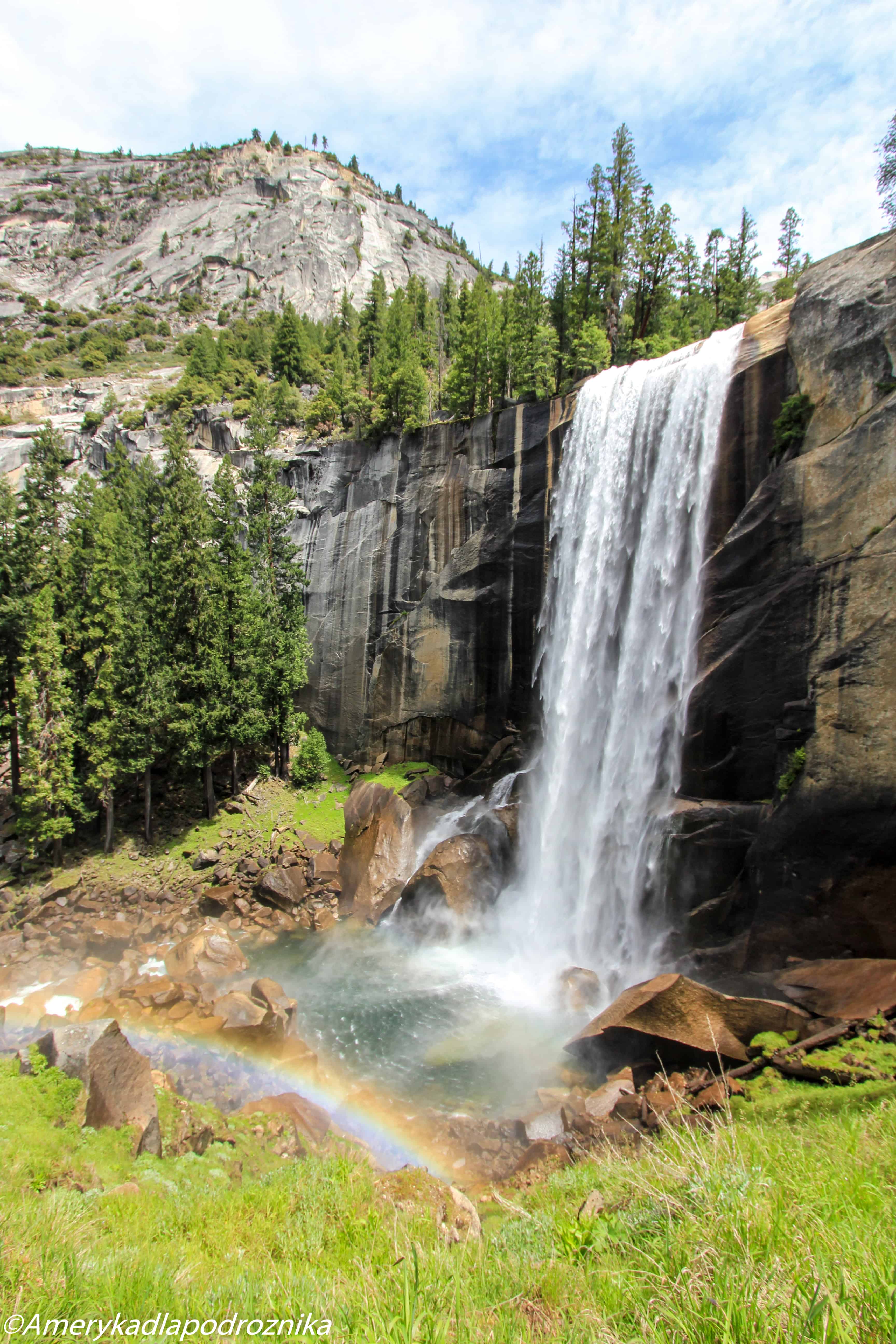
Mist Trail is a wonderful trip to two impressive waterfalls, Vernal and Nevada Falls. It is worth taking the trail when the falls are flowing intensively.
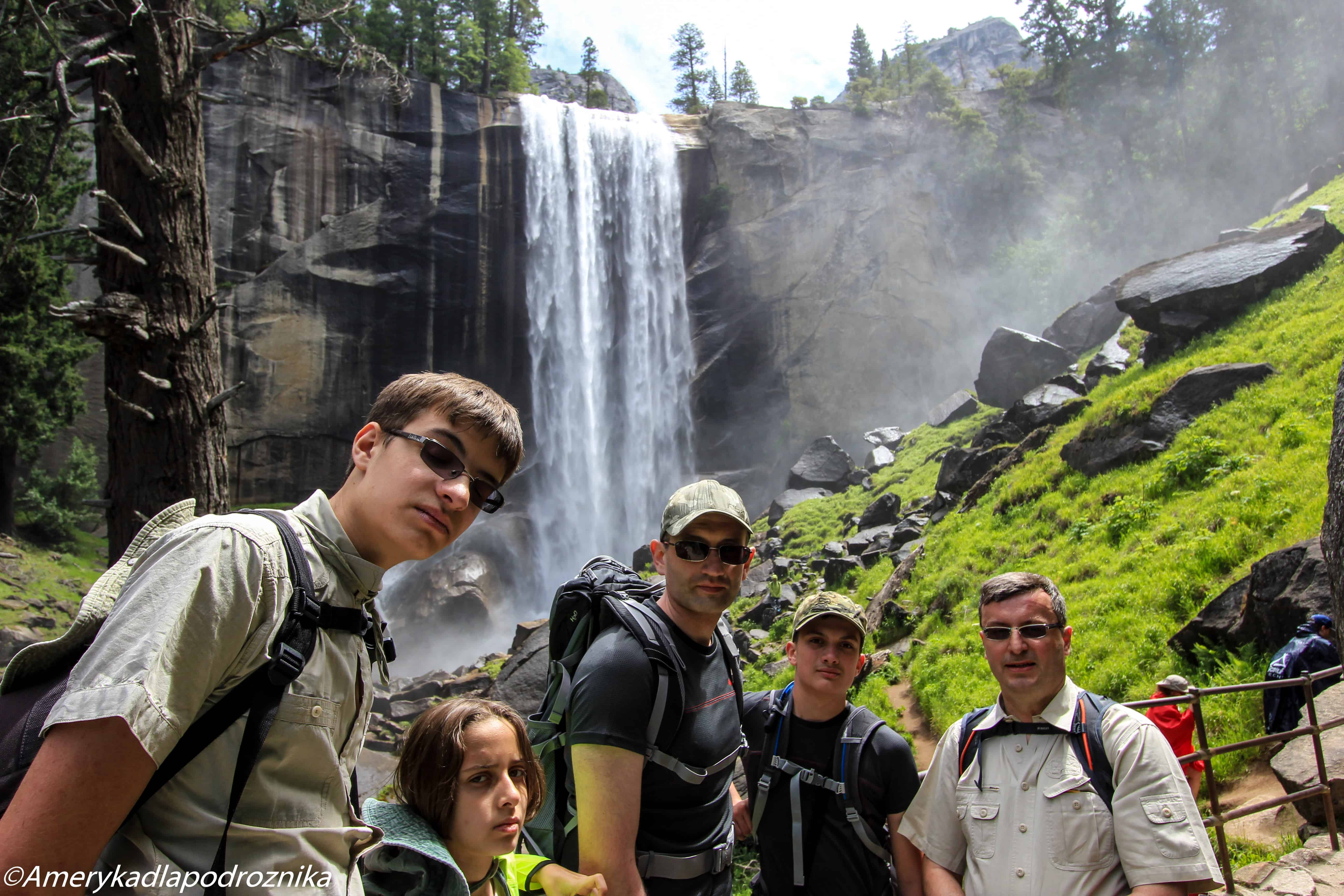
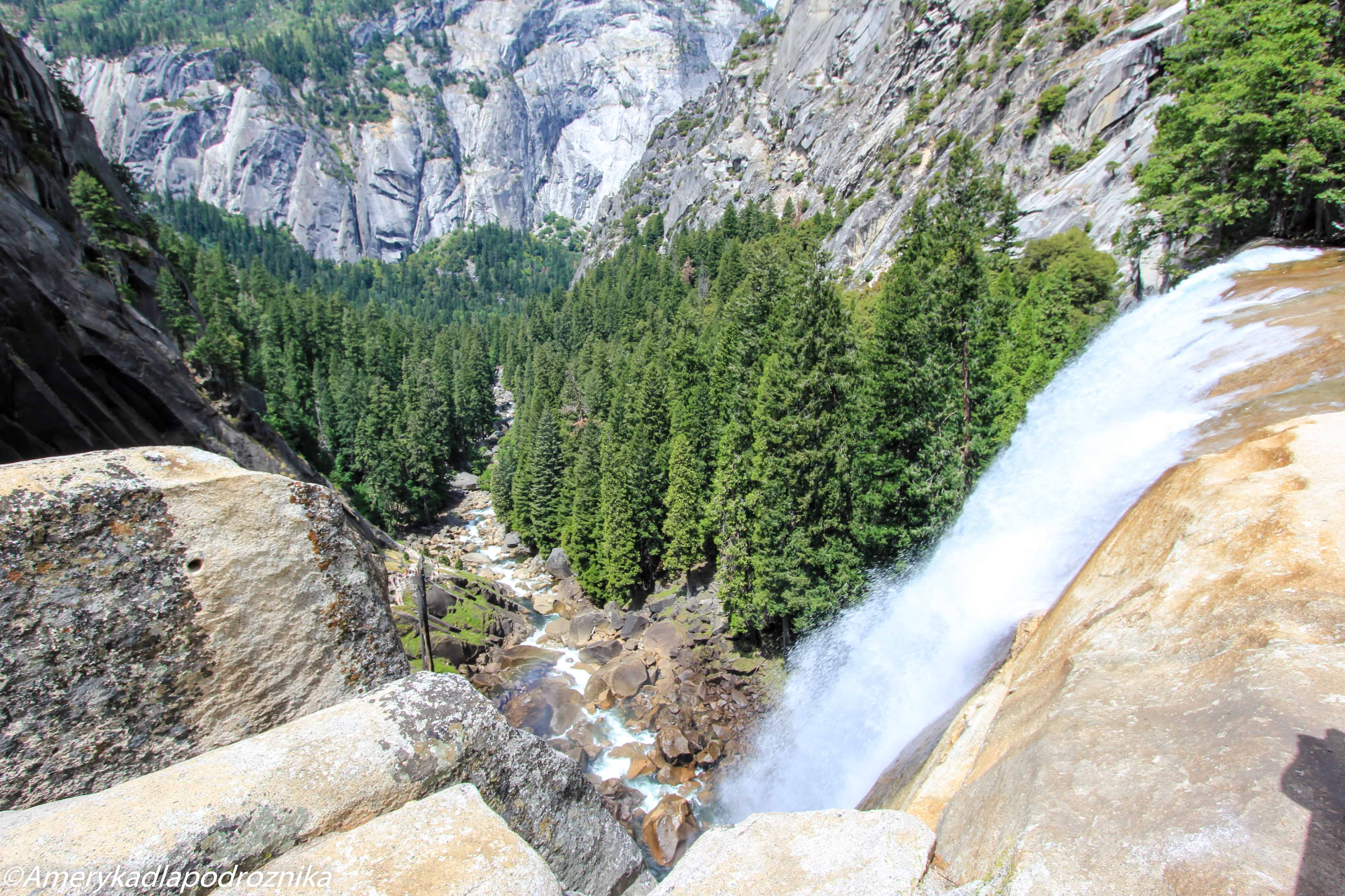
Right off the bat the trail leads steeply upwards, but it is not too challenging, because the trail is paved, however, it is tiring. The crowd on the trail is huge, we are practically a part of a long marching column. After an hour we reach the bottom of Vernal Falls. There is not too much water flowing, but it still looks pretty impressive. Some of the people decide to come near the waterfall to climb large rocks. It is a very dangerous spot, a number of people had already died here, as they were taken by the strong water current. We do not risk it and we keep on walking to the top of Vernal Falls. Now we reach a staircase leading upwards, with steep granite steps, which are slippery and wet from the waterfall. It is easy to slip and fall down. The statistics show that this trail is indeed dangerous; Mist Trail has claimed the most lives in the entire park, even more than Half Dome.
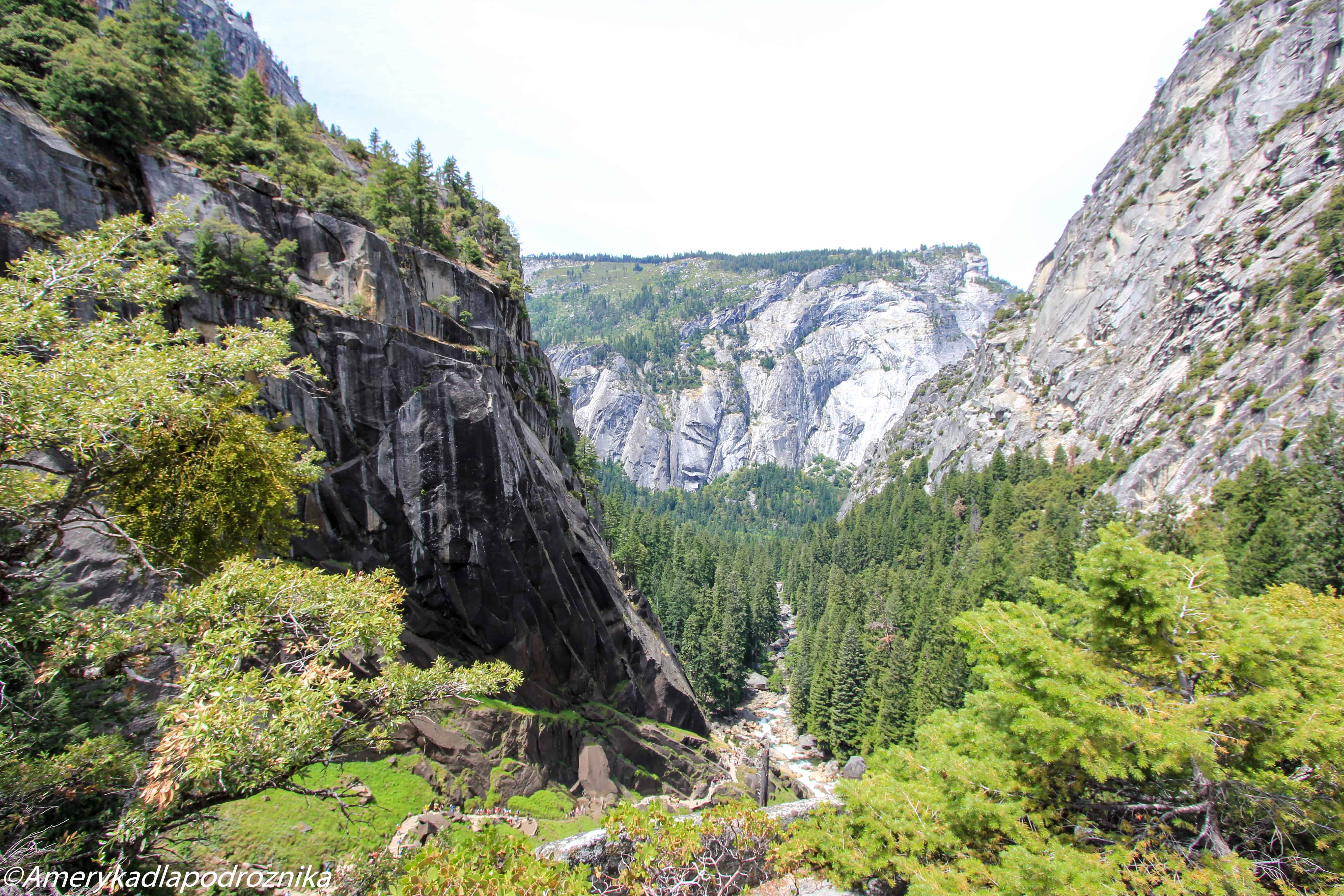
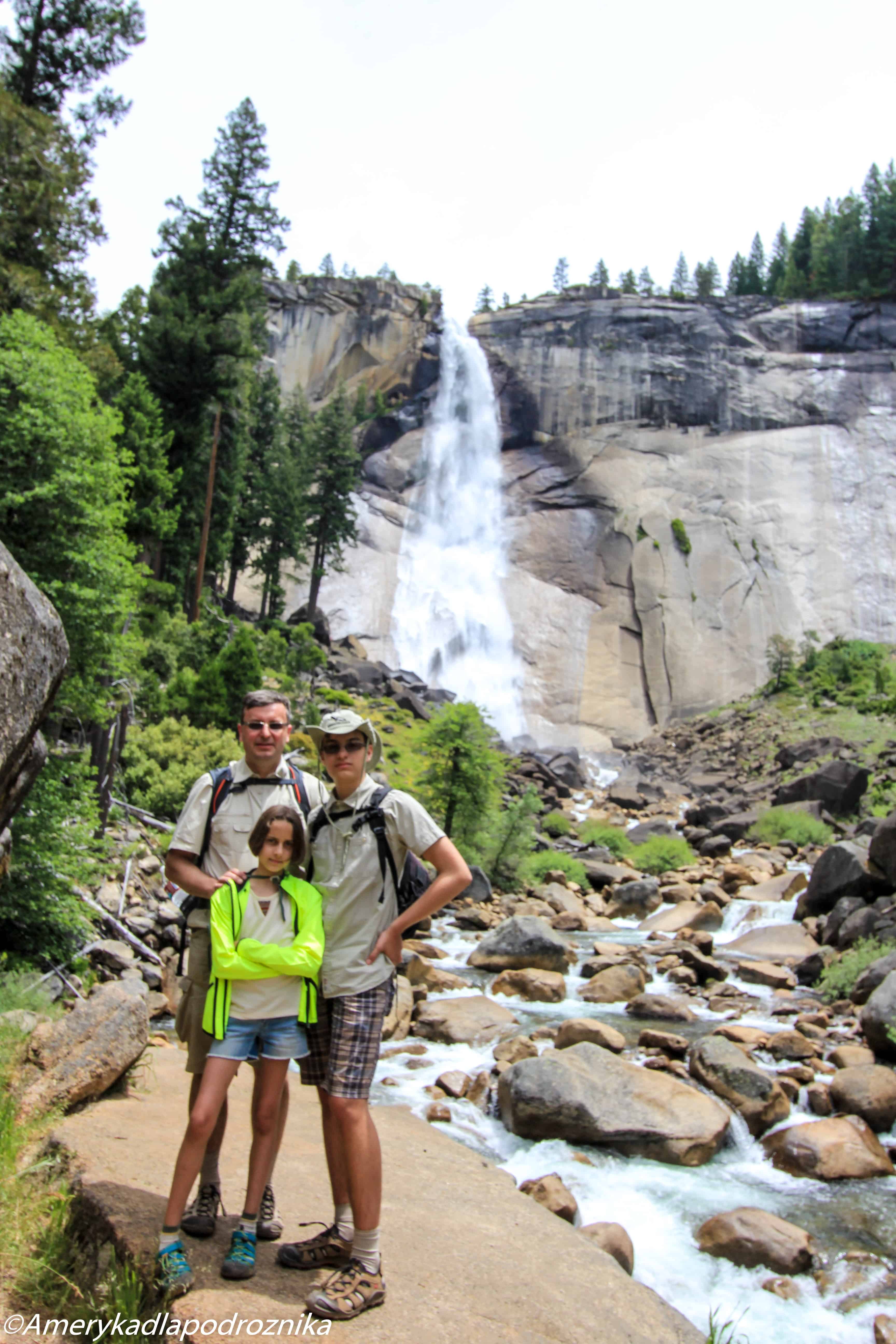
After making our way through the steps we reach the top of Vernal Falls, the waterfall is humming below us. We take a small break and enjoy the view of the valley. Then we continue upwards to Nevada Falls. The trail is no longer so steep and it is also not so wet. After reaching the destination some of us fall asleep immediately, the rest gaze at the waterfall. It is not as breathtaking as Vernal, but still pretty interesting.
Walking back down goes smoothly until we reach the steep steps. It is even harder to go down than up, people fall and sometimes push others. I hold on to the backpack of my nephew, as he is a pretty muscular and thus stable guy. We can finally catch a breath when we reach the asphalt pavement, from there reaching the trailhead takes us 40 minutes.
This trail is rather not advised for children, however, you can definitely safely take them to the bottom of Vernal Falls. However, this trail is a must for all waterfall lovers.
Half Dome
Parking
Same as Mist Trail
Trail’s length
The shortest way is to go through Mist Trail, 14.3 miles round trip, 5300 feet elevation gain, 10-12 hours
The hardest part about the trail is not the hike itself, but rather obtaining a permit for it.
How to get a permit?
There are 300 permits per day issued for the Half Dome. 225 of them entitle you to take the trail without staying there overnight. 75 allow you to stay the night on one of the campsites along the trail. Day Hiker Permits are issued in two ways. One of them is the preseason lottery, for which you register between the 1st and the 31st of March. You get the results via email in mid-April. One permit is valid for maximum of 6 people. In the registering form you can type in 7 dates that suit you (better than The Wave, as for The Wave you can only pick 3 dates). 225 permits are issued this way. About 50 permits are issued via an online lottery held two days beforehand. Those are the permits that were not issued via lottery or were returned by the winners.
You can sign up for the lottery here: [LINK]
If you want to stay overnight on the trail you will need to obtain a backcountry permit. There are 75 of those per day, 50 can be obtained 24 weeks beforehand, preferably using fax. You will need to pick it up one day before you trip in one of the Wilderness Centers. 25 permits are issued in a first come first serve way. It basically means that you will have to besiege the Wilderness Offices.
Staying overnight on the trail is a good idea, as you can reach the part with the chains early in the morning before the others come. You can, for example, camp on the Little Yosemite Valley Camp; here you will sleep right beneath the hardest part of the Half Dome.
You can obtain your wilderness permit here: [LINK]
https://www.nps.gov/yose/planyourvisit/wpres.htm
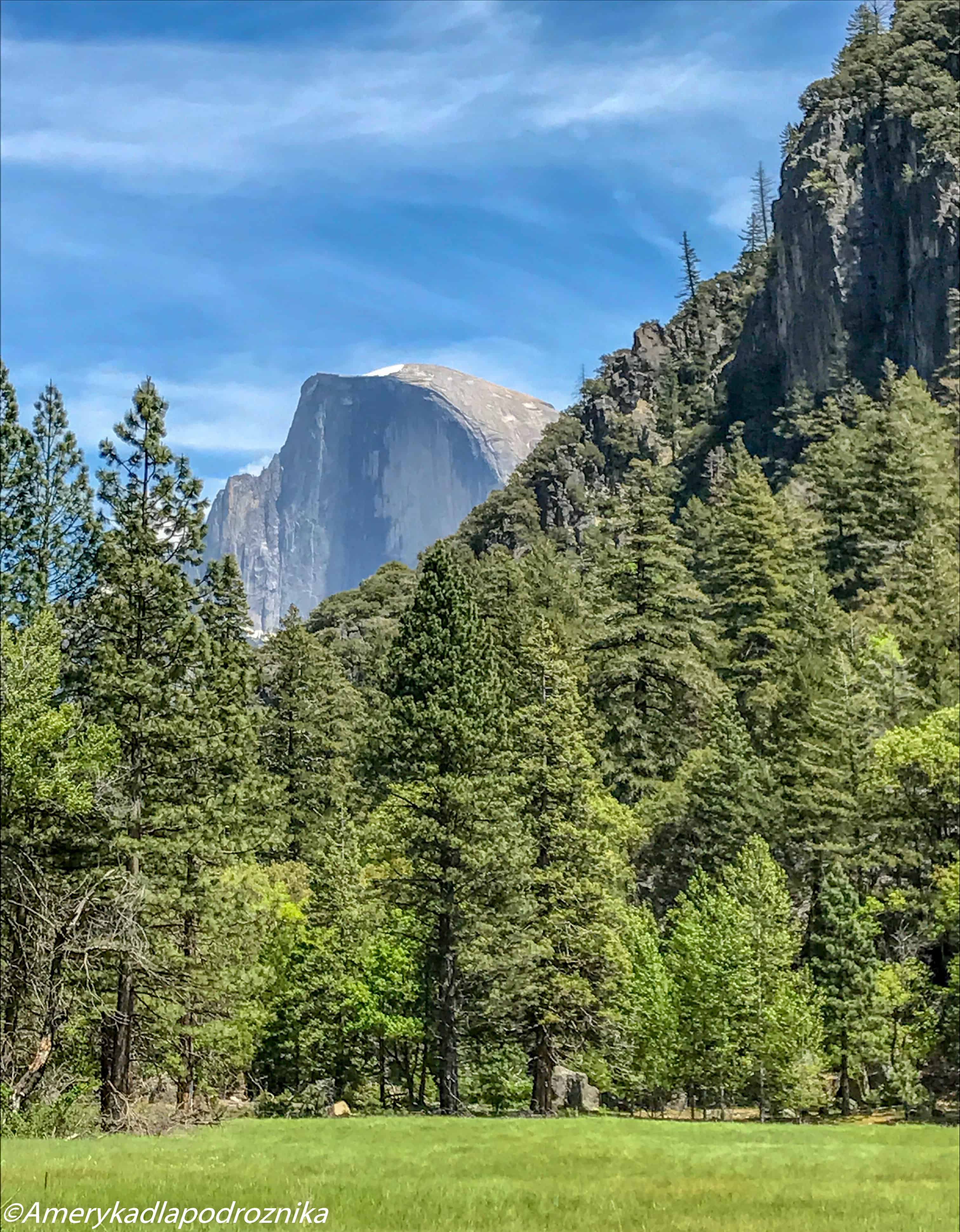
The part with the chains is the hardest one on the trail, however, not too many people had died here; most of the casualties result from lighting strikes. One man also shot himself here.
We did not take this trail because too much here depends on the behavior of others, over whom we do not have any control. If people push you around on the chain part of the trail it can become very dangerous.
In the next post I will cover the drive along the Tioga Road from Mono Lake down to the Yosemite Valley, and further to Mariposa Grove and Hetch Hetchy (currently only in Polish):
If you enjoyed this entry, I would be honored if you supported me on Patronite!
https://patronite.pl/ameryka-dla-podroznika

